|
COMETS EARTH JUPITER KUIPER BELT MARS MERCURY METEORITES NEPTUNE OORT CLOUD PLUTO SATURN SOLAR SYSTEM SPACE SUN URANUS VENUS ORDER PRINTS
PHOTO CATEGORIES SCIENCEVIEWS AMERICAN INDIAN AMPHIBIANS BIRDS BUGS FINE ART FOSSILS THE ISLANDS HISTORICAL PHOTOS MAMMALS OTHER PARKS PLANTS RELIGIOUS REPTILES SCIENCEVIEWS PRINTS
|
Related Document
Download Options
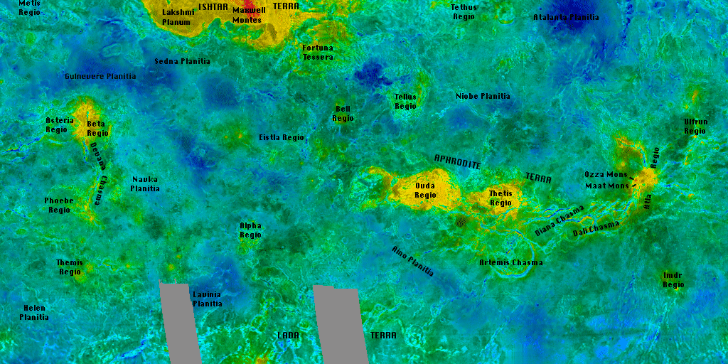
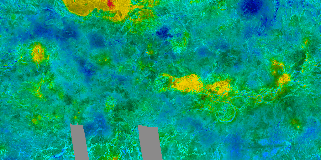
This image is a Mercator projection of Venusian topography. Many of the different regions have been labeled on the topol.gif and topol.tif images. The map extends from -66.5 to 66.5 degrees in latitude and starts at 240 degrees longitude. This image is Copyright © by Calvin J. Hamilton. Any commercial/for-profit use of this image needs to be addressed to Calvin J. Hamilton. |
||||||||||||||||||||||||||||||||||||