Europa Map Images
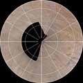
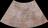
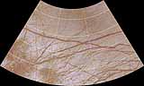
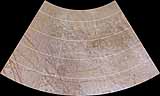
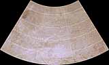
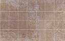
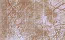
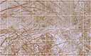
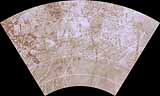
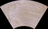
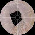
This map of Europa was constructed primarly from Galileo spacecraft image data with a few small regions filled in with Voyager data. The scale is 20 pixels/degree at the equator for the Mercator maps.
Click on the map below to obtain a high-resolution image of each quadrangle.
|
|---|

 Jupiter
 Europa