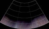
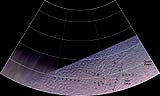
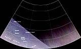
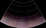
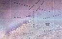
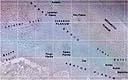
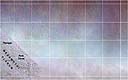
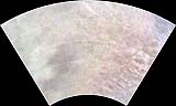
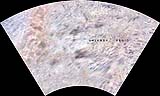
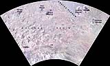
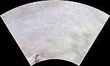
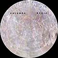
These Triton map quadrangles were created by A. Tayfun Oner from Voyager 2 images of Triton. The south polar map is in the polar stereographic projection, but because Voyager 2 did not see the north pole, the polar stereographic map that would have been here is lacking. The images from -21 to -66 degrees latitude and from 21 to 66 degrees latitude are in the Lambert Conformal Conic Projection. The regions from +22 to -22 degrees latitude are rendered in the Mercator Projection. The regions in which no Voyager 2 data exists were rendered black.
The top row of map quadrangles covers the latitudes from 21 to 66 degrees. The second row covers the latitudes from -22 to 22 degrees. The third row covers -66 to -21 degrees and the bottom south polar map covers -65 to -90 degrees latitude.
Click on the map below to obtain a high-resolution image quadrangle of that region.
|
|---|