|
COMETS EARTH JUPITER KUIPER BELT MARS MERCURY METEORITES NEPTUNE OORT CLOUD PLUTO SATURN SOLAR SYSTEM SPACE SUN URANUS VENUS ORDER PRINTS
PHOTO CATEGORIES SCIENCEVIEWS AMERICAN INDIAN AMPHIBIANS BIRDS BUGS FINE ART FOSSILS THE ISLANDS HISTORICAL PHOTOS MAMMALS OTHER PARKS PLANTS RELIGIOUS REPTILES SCIENCEVIEWS PRINTS
|
Related Document
Download Options
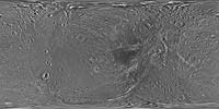
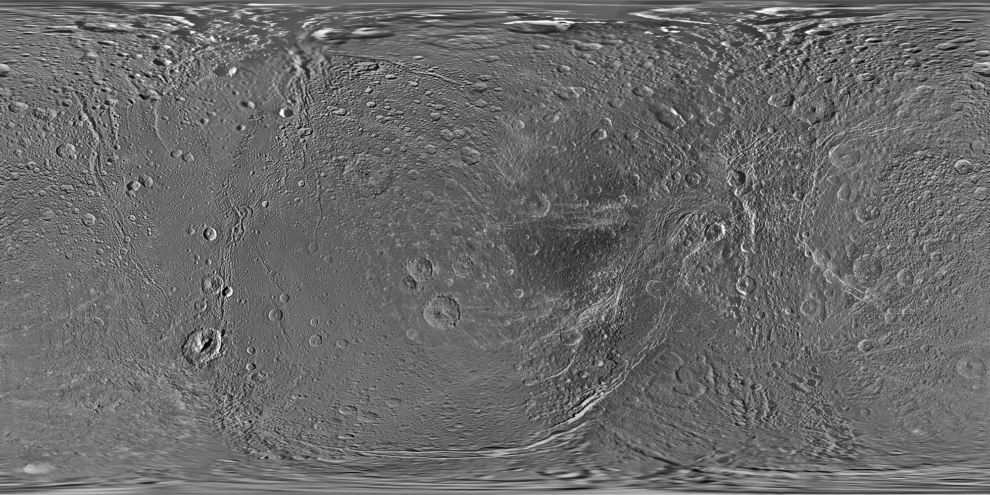
This global map of Saturn's moon Dione was created using images taken during flybys by NASA's Cassini spacecraft. Images from NASA's Voyager mission fill the gaps in Cassini's coverage. An extensive system of bright ice cliffs created by tectonic fractures adorns the moon's trailing hemisphere, which is centered on 270 degrees west. The map is a simple cylindrical (equidistant) projection and has a scale of 153 meters (500 feet) per pixel at the equator. The resolution of the map is 64 pixels per degree. The mean radius of Dione used for projection of this map is 563 kilometers (350 miles). The newest data were used to improve coverage across the whole north polar region. Moving south from the north polar region, coverage is improved all the way down to about 45 degrees south latitude in the area between the leading hemisphere and the anti-Saturn side of the moon from about 95 degrees west longitude to 135 degrees west longitude. Even farther south, new coverage on the trailing hemisphere reaches to about 65 degrees south latitude from about 220 degrees west longitude to 360 degrees west longitude. Like other recent Dione global maps, this map has been shifted west by 0.6 degrees of longitude, compared to the 2006 version of the map (PIA08341), in order to conform to the International Astronomical Union longitude system convention for Dione. |